

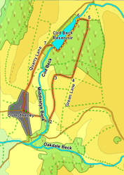
 This shorter walk takes us from the heart of Osmotherley, across the valley of Cod Beck and along its eastern edge to reach Cod Beck Reservoir, a real gem hidden in the trees above the village.
Ascent: 450ft
Length: 3.5 miles
Map: Ordnance Survey Explorer Map OL26
Last Walked: October 2010
Go to Printable Version
We start in the centre of Osmotherley, one of the most attractive villages in the area.
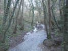 Three roads meet in the centre of Osmotherley. The fourth side of the village green is lined by houses, pierced in places by small alley ways. Just opposite the Osmotherley Walking Shop you will find a small alley signposted as leading to the Chapel. Follow this alleyway past the chapel and out onto Back Row. Cross this side street and follow the signposted footpath as it runs out of the village, across some fields and drops down into the valley of Cod Beck.
 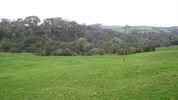 Cross over the beck and follow the footpath as it climbs up to cross a track. Turn left onto this track and follow it into the next field. The track then curves right towards Middlestye House. Just before reaching the house our footpath branches off to the left (both signposted and clear on the ground). Turn onto this path and follow it as it runs north through a series of fields, eventually running along the right-hand side of each field, and passing close to another house at Red Briers.
 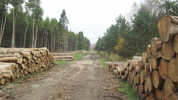 At the top of the third field we pass through a gate onto the track. Turn left and follow this track as it runs towards the plantations around Cod Beck Reservoir. Continue on along the track as it runs through the plantation.
 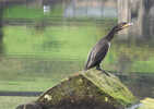 At the reservoir turn left onto the path that runs along the near side of the water. At the far end of the reservour turn right and follow the path as it heads across the top of the damn, then turn left and follow a track that climbs up to the road.
 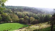 Turn left onto the road and follow it all the way back into the village. Note the impressive views back across the valley of Cod Beck that are only really seen when on foot.