Home
Gazetteer
Walks
Landscape Features
Wildlife
History
Books & Maps
Historic Maps
Picture Gallery
Links
Contact Us
Cookies
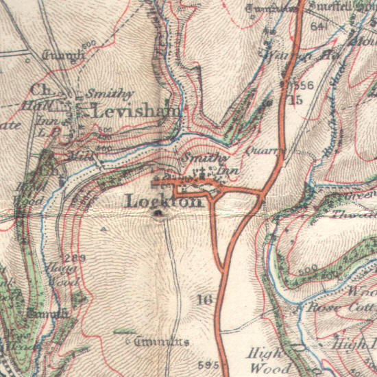
Lockton is on Ordnance Survey Explorer Map OL27 (North Yorks Moors Eastern Area)
Get it from
 Lockton is on Ordnance Survey Explorer Map OL27 (North Yorks Moors Eastern Area)
