The Hole of Horcum
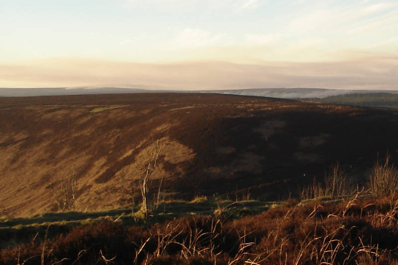
A view west across the Hole of Horcum. In the distance you can see controlled heather fires. All of the clouds visible on this picture are actually smoke from these fires.
Location
Grid Reference: Picture taken from SE 852 937
Map
 The Hole of Horcum is on Ordnance Survey Explorer Map OL27 (North Yorks Moors Eastern Area)
Get it from 