Cross Dike at Far Black Rigg
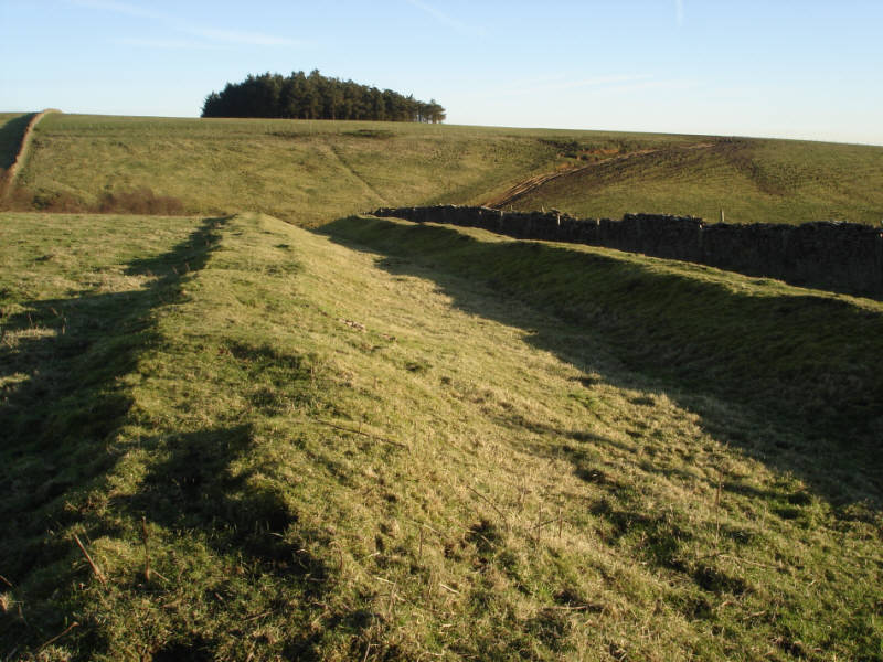
Picture of the Cross Dyke at
Far Black Rigg, close to the Hole of Horcum.
This double bank and ditch probably cut off the head of the Rigg.
This is the view east towards the valley of Black Griff
- the tops of the trees in the base of the Griff are just visible.
Location
Grid Reference: SE 842 920
Map
 Far Black Rigg is on Ordnance Survey Explorer Map OL27 (North Yorks Moors Eastern Area)
Get it from 