The Low House, Baysdale
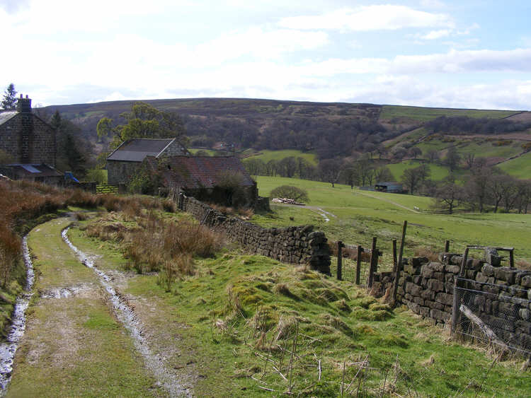
The Low House, upper
Baysdale. The public foot path passes through a gate just before the track reaches the building, and follows the track down to the barn in the middle right.
Map
 The Low House, Baysdale is on Ordnance Survey Explorer Map OL26 (North Yorks Moors Western Area)
Get it from 